Hydrographic & Bathymetric Surveys
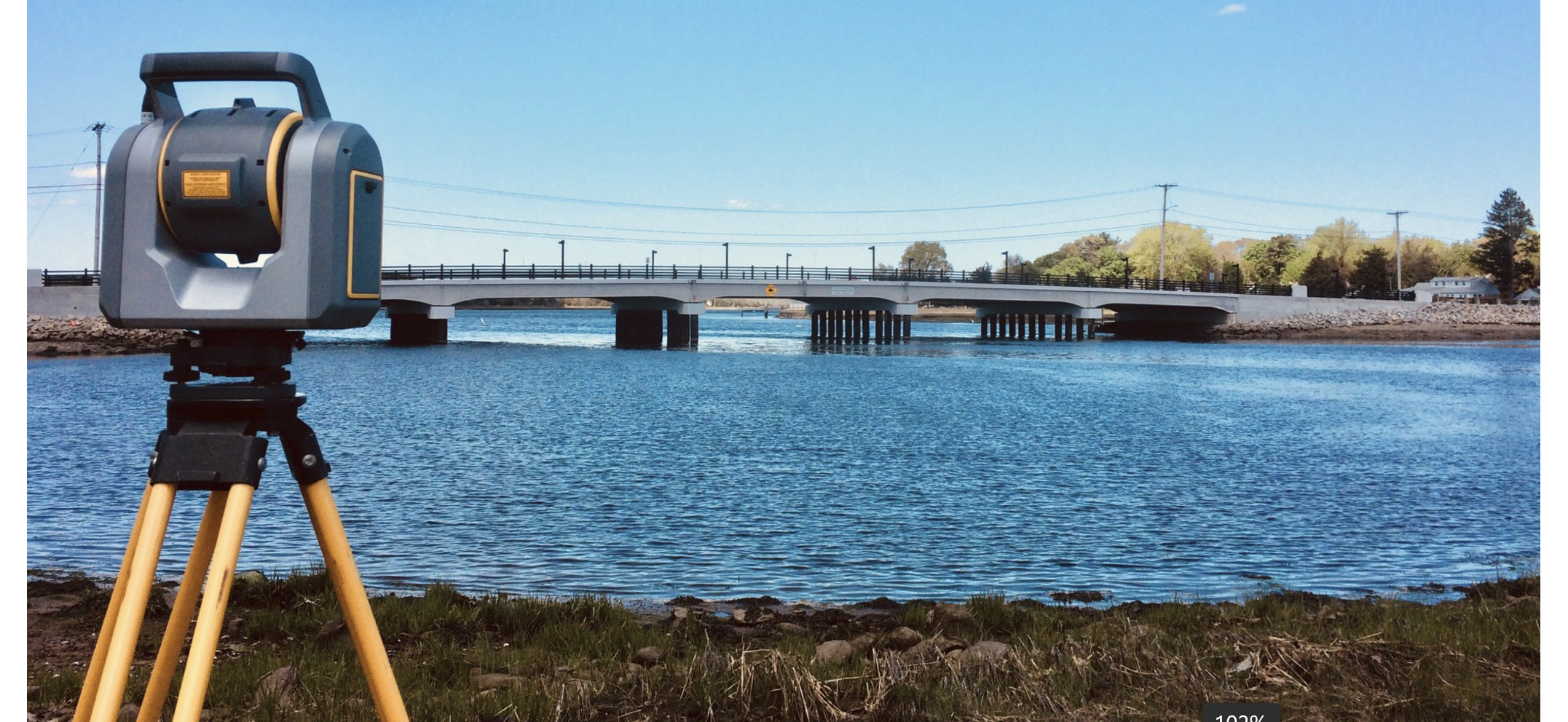
At VIRAJ Consulting Engineers, we deliver precise Hydrographic & Bathymetric Surveys to support marine and coastal projects with accuracy and reliability. Our expertise in underwater mapping, depth measurement, and seabed profiling ensures that every project is planned with confidence. By leveraging advanced sonar technology and modern survey methods, we provide critical data for navigation safety, dredging operations, offshore construction, and coastal zone management.
We focus on project efficiency, risk reduction, and cost optimization, ensuring our clients receive dependable insights for smooth execution across all stages of marine infrastructure development.At VIRAJ Consulting Engineers, we specialize in delivering accurate hydrographic and bathymetric surveys to support marine infrastructure and coastal development projects. Using advanced multibeam echo sounders, side-scan sonar, and sediment analysis, we provide precise seabed mapping and environmental assessments.
Our expertise in underwater mapping, depth measurement, and seabed profiling ensures that every project is planned with confidence.and the all stages of marine infrastructure development Our expertise in tide monitoring and underwater terrain analysis ensures reliable data for safe navigation, harbor development, dredging, and offshore structures.